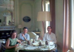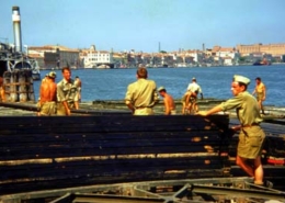
Chieza de Redentore, General View Along Shoreline
The Chieza di Redentorewas founded to call upon the Redeemer to deliver the city of Venice from a serious outbreak of the plague from 1575-1576. The church is sited on the island of the Giudecca in a position where it is clearly visible from the Piazetta di San Marco.
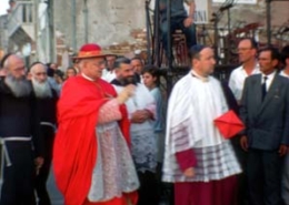
Chieza de Redentore (Church of the Redeemer), View of Procession, Redentore Festa
The Chieza di Redentore was founded to call upon the Redeemer to deliver the city of Venice from a serious outbreak of the plague from 1575-1576. The church is sited on the island of the Giudecca in a position where it is clearly visible from the Piazetta di San Marco.
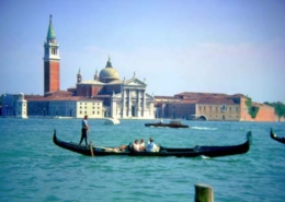
San Giorgio Maggiore, View of Church from San Marco Across Lagoon
The only building on the San Giorgio Maggiore island, this church was built in 1566 CE directly across the Venetian lagoon from the Doge's palace. It is built inside a Benedictine monastery dating from 982 CE, which itself is an expansion of an earlier church dating from at least 829 CE. In 1812, the church's harbor was expanded, and it served as the headquarters for Venice's artillery.

The Grand Canal, General View Down Canal
The Grand Canal (Italian: Canal Grande) is Venice's most important waterway. It forms one of the major water-traffic corridors in the city. Running through most of the city, it "starts" from the lagoon at the train station, makes a large S-shape through the central parts of Venice, and ends by the Canal of San Marco at Piazza San Marco (Saint Mark's Square).
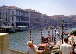
The Grand Canal, General View Down Canal
The Grand Canal (Italian: Canal Grande) is Venice's most important waterway. It forms one of the major water-traffic corridors in the city. Running through most of the city, it "starts" from the lagoon at the train station, makes a large S-shape through the central parts of Venice, and ends by the Canal of San Marco at Piazza San Marco (Saint Mark's Square)
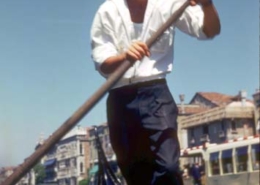
The Grand Canal, General View Down Canal, Unknown Gondolier
The Grand Canal (Italian: Canal Grande) is Venice's most important waterway. It forms one of the major water-traffic corridors in the city. Running through most of the city, it "starts" from the lagoon at the train station, makes a large S-shape through the central parts of Venice, and ends by the Canal of
San Marco at Piazza San Marco (Saint Mark's Square)
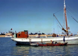
Chiesa dei Gesuiti (Church of the Jesuits), General View of the Lagoon Near Campo dei Gesuiti
Also known as S. Maria Assunta, this church was completed in 1729 to house Jesuit Monks.


